History of the Whenua
Discover the living story of the Waitākere Ranges
Step into the rich tapestry of the Waitākere Ranges, a sacred landscape steeped in the history, traditions, and enduring connection of Māori to the whenua (land). These lush forests, rugged peaks, and cascading waterfalls are more than just natural wonders—they are the cradle of ancient stories, the footprints of tūpuna (ancestors), and the guardians of Māori cultural heritage.
From the iwi, Te Kawerau ā Maki, who first called this place home to the spiritual bonds woven through its valleys and streams, the Waitākere Ranges are alive with the wisdom of generations. Journey with us as we uncover the treasures of tikanga (customs), kōrero tuku iho (oral histories), and the enduring guardianship of this land that holds the heart of Aotearoa.
Explore the wairua (spirit) of the Waitākere Ranges and connect with the timeless legacy of the whenua.
Oratia
In Te Kawerau ā Maki’s Treaty settlement (statutory acknowledgement) the name is Ora-Tia, named after the pā site. This was a hidden inland place with palisaded/pegged gardens. Orātia, as most commonly used today, refers to the Long Lingering sun. Oratia sits at the foothills of Te Wao nui ā Tiriwa – the Waitākere Ranges.
Waiatarua
Waiatarua means “song of two waters”, referring to the ability to see both the wild west coast, of the Manukau Harbour and the still, sparkling waters Waitemata harbour from certain points in the area.
Titirangi
Named by the Te Kawerau ā Maki ancestor Rakataura or Hape as the “fringe of heaven” as it reminded him of the vista of Hawaiki, and a significant hill. Similar to the name Hikurangi, another significant hill from Hawaiiki.
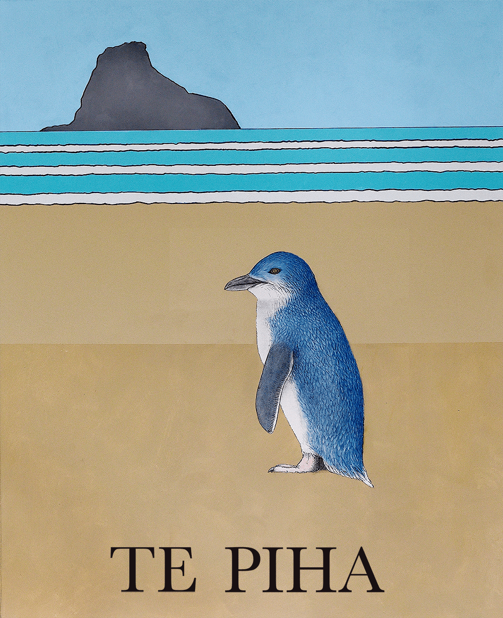
Te Piha
The area is named Te Piha, the traditional name of Lion Rock which was later applied to the wider area, and refers to the pattern made when waves hit against the rock. The area was the location of many Pā and villages, including a headland at Te Waha Point north of the beach, and Lion Rock, which was the location of one of the most ancient Pā for Te Kawerau ā Maki named Whakaari pā.
Ōpareira – Henderson Valley
The area of Henderson is traditionally known as Te Kōpua – Henderson, meaning a deep pool, in reference to the confluence of the meeting of Oratia Stream (Horotiu) and the Pānuku streams, coming together to form a confluence. The Alderman restaurant and West Wave complex are at the confluence of the Te Kōpua (thus a deep pool). Henderson Valley itself is known by Te Kawerau ā Maki as Ōpareira, meaning the dwelling place of Pareira, a Te Kawerau ā Maki Ancestress. Te Wai o Pareira the away, are her waters. She and her kin would visit the forested valley to live there, particularly in the winter months.
Te Henga
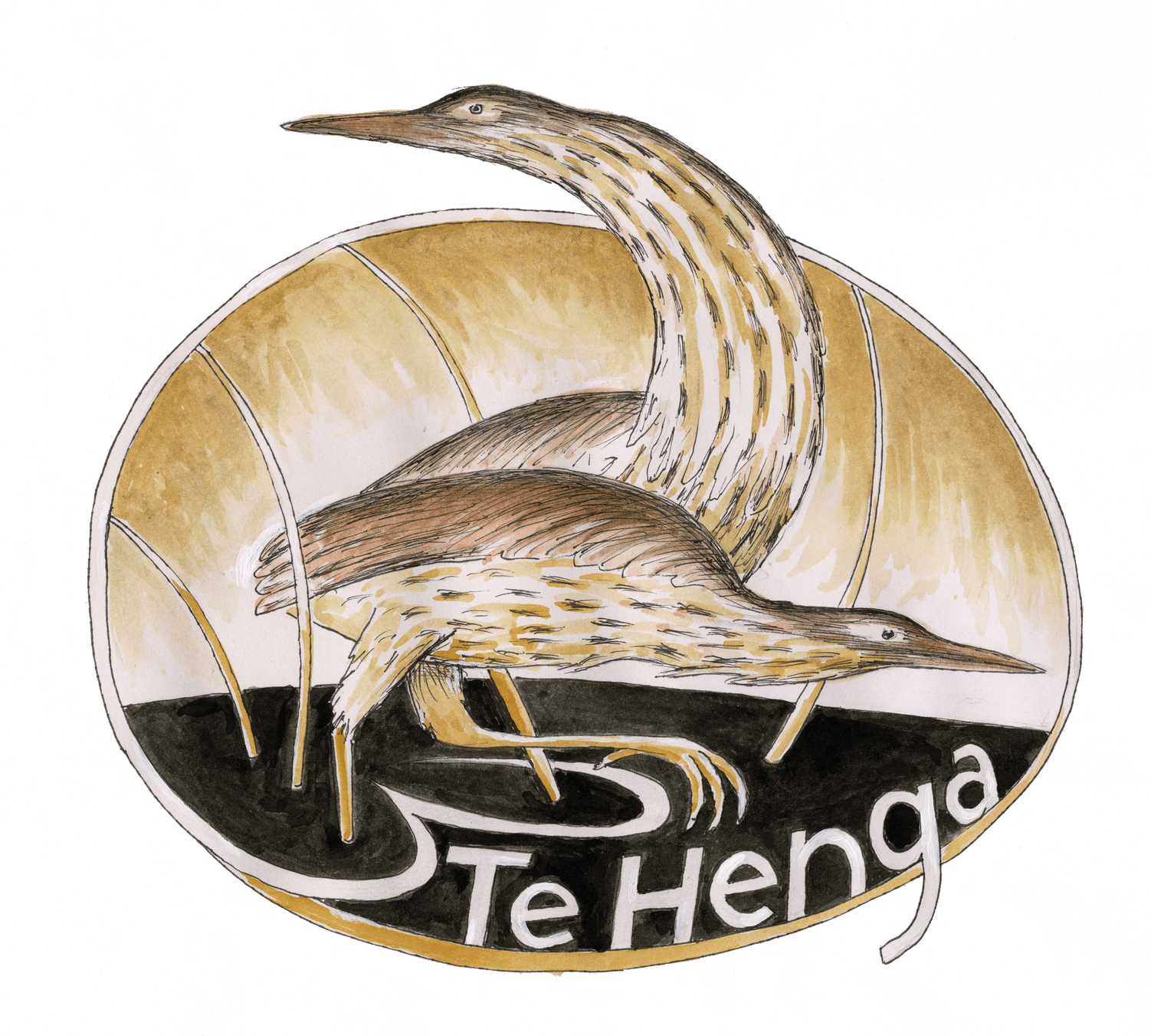
Te Henga, is in reference to the long foredunes which run along the beach and look like the Henga or gunwale of an upturned waka hull. A rock located in the beach to the north-west of Ihumoana Island is the namesake of Wai-tākere referring to the way the water cascades over the rock.
Having lost their land in 1910, Te Henga is the location for the new Marae and Papakainga that will be built for Te Kawerau ā Maki.
Waiwhauwhaupaku – Swanson
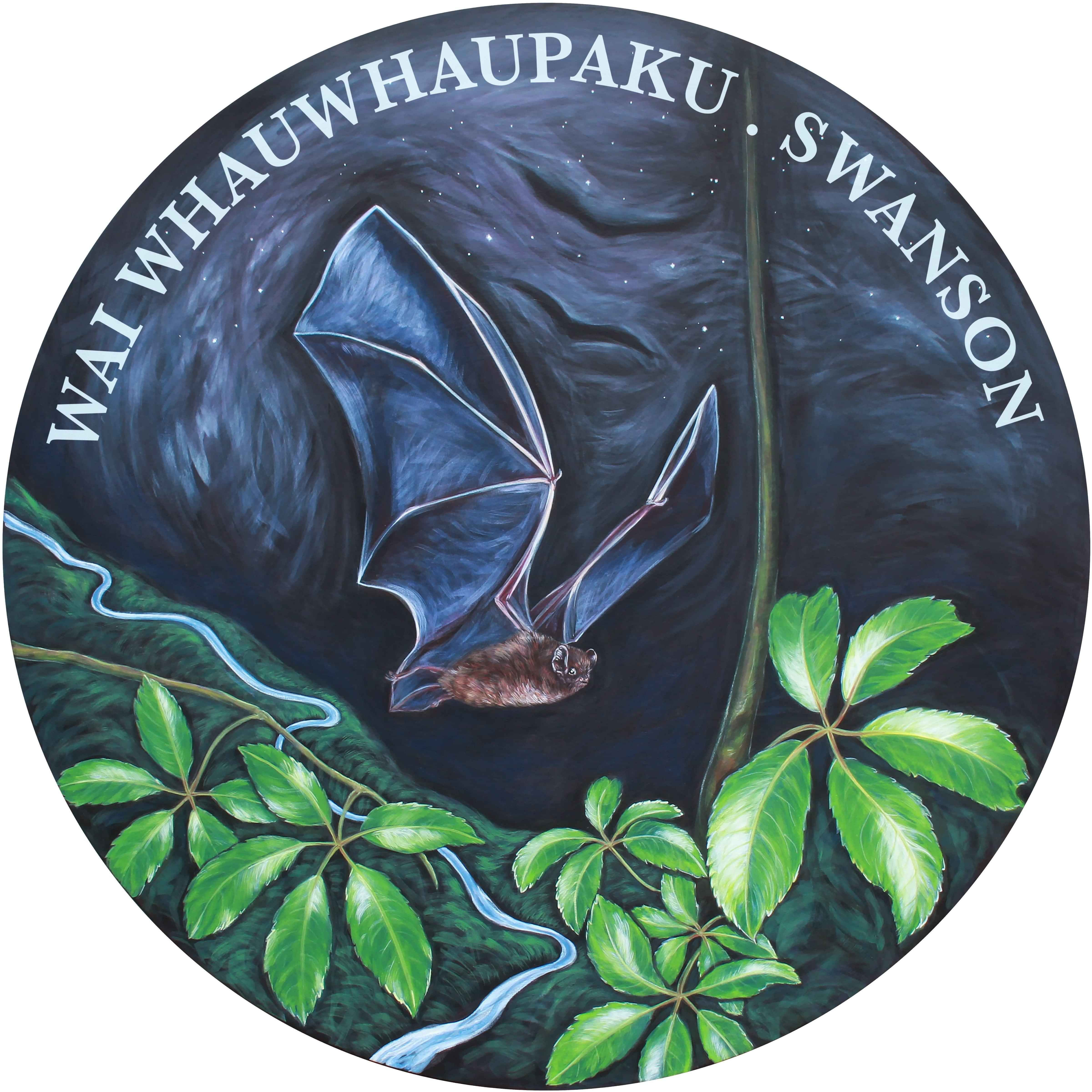
Waiwhauwhaupaku/Swanson takes its name from the Whauwhaupaku, or the five-finger shrub which once grew in profusion in the area. Waiwhauwhaupaku is also the name of the stream. Historically Waiwhauwhaupaku was known for the many variety of Moko (Gecko) in the area, hence the name Waimoko Stream.
